These Areas In Northeast Could See Snow, Wintry Mix On Groundhog Day These Areas In Northeast Could See Snow, Wintry Mix On Groundhog Day These Areas In Northeast Could See Snow, Wintry Mix On Groundhog Day
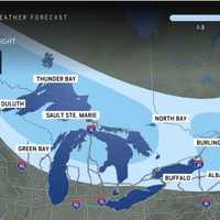
These Areas In Northeast Could See Snow, Wintry Mix On Groundhog Day It likely won't be long for parts of the Northeast to see a new round of wintry precipitation just days after a quick-moving storm heads east. With high temperatures climbing to around the 40-degree mark on Friday, Jan. 31, precipitation later in the morning and for the rest of the day will be in the form of rain for most of the region, with a wintry mix farther north and inland.  Precipitation will become light in the evening. In some inland areas, there will sleet, with locations farthest north potentially seeing several inches of snowfall. Skies will gradually become mainly sunny o…
Best Viewing Chances Coming In 'Parade Of Planets': Here's When To Keep Eye On Sky Best Viewing Chances Coming In 'Parade Of Planets': Here's When To Keep Eye On Sky Best Viewing Chances Coming In 'Parade Of Planets': Here's When To Keep Eye On Sky
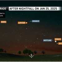
Best Viewing Chances Coming In 'Parade Of Planets': Here's When To Keep Eye On Sky Skywatchers, get ready for an unforgettable weeks-long celestial spectacle. This rare phenomenon, nicknamed the "Parade of Planets," offers a unique opportunity for viewers to observe multiple planets in the night sky. What to Expect Shortly after sunset through mid-February, the six planets -- Jupiter, Mars, Neptune, Saturn, Uranus, and Venus -- will align across the night sky.  "Venus, Saturn and Neptune will be bunched together low in the southwestern sky, while Mars, with its distinct reddish hue, Jupiter and Uranus will glow higher in the southern sky," according to AccuWea…
Bitter Blast Of Arctic Air Could Trigger 'Frost Quakes' In Northeast: What To Know Bitter Blast Of Arctic Air Could Trigger 'Frost Quakes' In Northeast: What To Know Bitter Blast Of Arctic Air Could Trigger 'Frost Quakes' In Northeast: What To Know
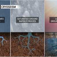
Bitter Blast Of Arctic Air Could Trigger 'Frost Quakes' In Northeast: What To Know A bitter blast of Arctic air and frigid wind chills that arrived in the Northeast following a major winter storm comes with an unexpected twist: a natural phenomenon called frost quakes. Unlike earthquakes, they are not caused by tectonic plates, but rather, cold conditions. Also known as cryoseisms, they can be loud enough to jolt people awake in the middle of the night, according to AccuWeather, which describes them as "cracks and booms" that "may have people thinking they felt an earthquake during the upcoming Arctic outbreak, but the unusual phenomenon has roots in the bitterly col…
Back-To-Back Winter Storms Taking Aim On Northeast: Here's Latest Back-To-Back Winter Storms Taking Aim On Northeast: Here's Latest Back-To-Back Winter Storms Taking Aim On Northeast: Here's Latest
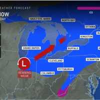
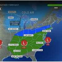
Back-To-Back Winter Storms Taking Aim On Northeast: Here's Latest Back-to-back storm threats are on target for the Northeast in the coming days. New Update: First Snowfall Projections Released For New Winter Storm -  Up To Half-Foot Predicted In These Spots The first system will move from the west to the east, bringing a mix of rain, sleet, and snow Friday night, Jan. 17 into Saturday, Jan. 18. (See the first image above from AccuWeather.) More widespread wintry travel possible from a separate system Sunday night, Jan. 19 into Martin Luther King Jr. Day on Monday, Jan. 20.  It will range from the coastal to the interior Southeast. (Click on …
Cross-Country Storm Packed With Snow, Ice Takes Aim On Northeast Cross-Country Storm Packed With Snow, Ice Takes Aim On Northeast Cross-Country Storm Packed With Snow, Ice Takes Aim On Northeast
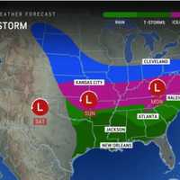
Cross-Country Storm Packed With Snow, Ice Takes Aim On Northeast A quick-moving New Year's Eve storm system that brought some natural fireworks as 2025 arrived will be followed by strong wind gusts of up to 50 miles per hour that could lead to power outages before a winter storms makes its way to the East Coast. Temps will become more seasonable on Thursday, Jan. 2, with lingering strong winds making it feel colder. From Friday, Jan. 3 to Sunday, Jan. 12, temperatures will be between 12 and 25 degrees below the historical average.  The return of colder air will set the stage for a massive storm that will move along a 1,500-mile-long zone from the M…
What Are Snow Squalls? Winter Weather Hazard Forecast In NJ, PA: Here's What To Know What Are Snow Squalls? Winter Weather Hazard Forecast In NJ, PA: Here's What To Know What Are Snow Squalls? Winter Weather Hazard Forecast In NJ, PA: Here's What To Know
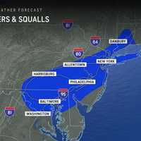
What Are Snow Squalls? Winter Weather Hazard Forecast In NJ, PA: Here's What To Know A storm system moving in brings the potential for snow squalls, 55 mph winds, and frigid temps mid-week in New Jersey and Pennsylvania, forecasters have said in a new update. ⚠️❄️🌬️ Not much change to the forecast for tonight through Thursday. Some snow showers may result in some light... Posted by US National Weather Service Philadelphia/Mount Holly on Wednesday, December 4, 2024 A powerful cold front is set to sweep through the region tonight into Thursday, Dec. 5, bringing snow showers, potential travel hazards, and wind gusts as high as 55 mph, according to the National Weather …
Separate Snowmaking Storms Could Mark December's Opening Weeks: Long-Range Outlook Separate Snowmaking Storms Could Mark December's Opening Weeks: Long-Range Outlook Separate Snowmaking Storms Could Mark December's Opening Weeks: Long-Range Outlook
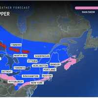
Separate Snowmaking Storms Could Mark December's Opening Weeks: Long-Range Outlook The arrival of an Arctic blast of cold air could be followed by separate snowmaking storms during the first two weeks of December. Tuesday, Dec. 3, will mark the start of a string of days in which Alberta Clipper systems with fast-falling snowfall are possible in these areas shown in pink and blue in the image above from AccuWeather. According to current forecast models, the highest likelihood for snowfall in the Northeast is overnight Wednesday, Dec. 4 into Thursday, Dec. 5, according to the National Weather Service. Areas farther south will likely see mainly snow showers but accumul…
New Update: Thanksgiving Storm Will Dampen Travel With Mix Of Rain, Sleet, Snow New Update: Thanksgiving Storm Will Dampen Travel With Mix Of Rain, Sleet, Snow New Update: Thanksgiving Storm Will Dampen Travel With Mix Of Rain, Sleet, Snow
New Update: Thanksgiving Storm Will Dampen Travel With Mix Of Rain, Sleet, Snow A new storm will bring a mix of snow, sleet, and rain on Thanksgiving and Black Friday, causing widespread disruptions for travel and holiday festivities. A pair of scenarios will be at play as the holiday week progresses, one of which could produce accumulating snow across portions of the Ohio Valley and Northeast, AccuWeather meteorologists say. "The first scenario involves a slow-moving storm, meaning potentially longer-lasting impacts from the Tennessee and Ohio valleys through the Northeast," says AccuWeather. "The second scenario sends the same storm farther south and off the Ca…
Gusty Winds, Possible Snow Heading Toward Maryland, Virginia, Forecasters Caution Gusty Winds, Possible Snow Heading Toward Maryland, Virginia, Forecasters Caution Gusty Winds, Possible Snow Heading Toward Maryland, Virginia, Forecasters Caution
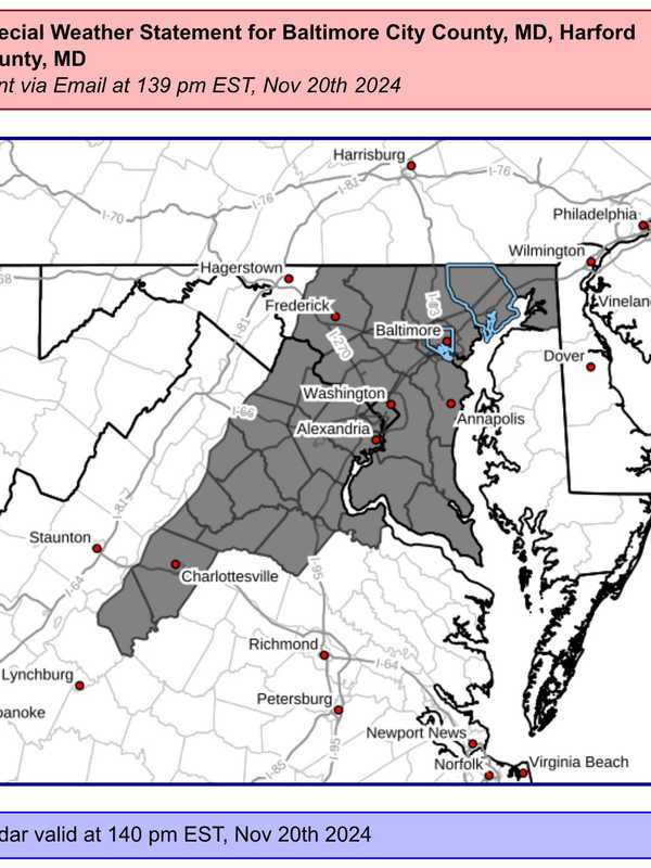
Gusty Winds, Possible Snow Heading Toward Maryland, Virginia, Forecasters Caution Forecasters are cautioning that some wild weather may be moving through the DMV region through the weekend as the area braces for possible snow storms in parts of the area. A "Special Weather Statement" was issued by the National Weather Service advising that wind gusts possibly approaching 50 mph may be on the way on Wednesday night, bringing with it a strong cold front and possibly a taste of winter weather in the mountains. Mild temps continue ahead of strong cold front today. The front will deliver increased rain chances & gusty winds later this evening into tonight. Upper level …
Snow Could Fall In Sussex County After Rain: Here's Where Snow Could Fall In Sussex County After Rain: Here's Where Snow Could Fall In Sussex County After Rain: Here's Where
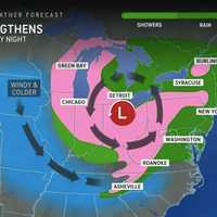
Snow Could Fall In Sussex County After Rain: Here's Where Cooler temperatures are here to stay for the week, with the National Weather Service forecasting rain and even snow in some parts of New Jersey this week (scroll for snow map). The National Weather Service in Mount Holly says that the cold front, which brought a 5- to 10-degree temperature drop, will continue to influence the region's weather. "Widespread rain, and even a little snow in the Poconos, will arrive for Wednesday night through Thursday night," officials said. According to AccuWeather, a storm system in the Great Lakes will shift to the Atlantic Coast.  "The rain may behave…
Newly Named Tropical Storm Sara Forms: Here's Latest Newly Named Tropical Storm Sara Forms: Here's Latest Newly Named Tropical Storm Sara Forms: Here's Latest
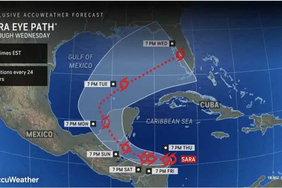
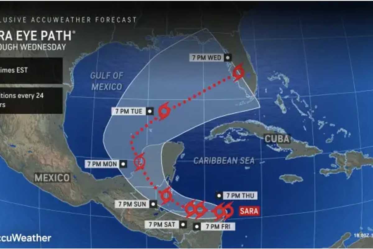
Newly Named Tropical Storm Sara Forms: Here's Latest There's a brand-new tropical storm with just two weeks remaining in the 2024 Atlantic hurricane season. A system in the central Caribbean Sea called Tropical Depression 19 was upgraded to Tropical Storm Sara on Thursday afternoon, Nov. 14. It's now moving westward toward Central America.  Tropical storm warnings are in effect for parts of Honduras and Nicaragua.  "Residents in these areas should monitor the storm's progress and follow local advisories," the National Hurricane Center said. Current projections have the storm headed to Florida on Wednesday, Nov. 20. (See the …
Brief Cold Front Coming, Warm Weather Sticking Around In NJ, PA: Forecasters Brief Cold Front Coming, Warm Weather Sticking Around In NJ, PA: Forecasters Brief Cold Front Coming, Warm Weather Sticking Around In NJ, PA: Forecasters
Brief Cold Front Coming, Warm Weather Sticking Around In NJ, PA: Forecasters A cold front will end the summer-like warmth in the Northeast — for now, forecasters say. "For the next seven to 10 days at least, warm days will outnumber chilly ones, relative to the historical average," AccuWeather Senior Meteorologist Brett Anderson said. "This means that when all the days are tallied up, temperatures will be several degrees above that historical average, which is slowly trending downward during November." The last few days have certainly felt like summer, but the weekend will be feeling more like autumn, forecasters say. Temperatures on Friday will be in the high 70s …